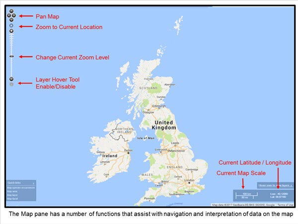
Note that the pan and zoom operations can be accomplished by using the mouse: left click and drag to perform a pan operation, and use the mouse wheel to zoom in and out. You can also hold down the shift key and drag over an area to zoom to that area (when the mouse button is released).
The layer value hover tool is discussed in the Layers (Add to Map) section.
Current map scale and current mouse pointer latitude and longitude is shown on the lower right of the map. Both are dynamic and reflecting the current mouse position, zoom and map location.
Common Map Options
Map options are used to define the base map displayed in the Spatial Portal, to allow the user to add in their own layer via WMS, download an image of a map, and reset the Spatial Portal.
The base maps are treated as a single underlying map layer.
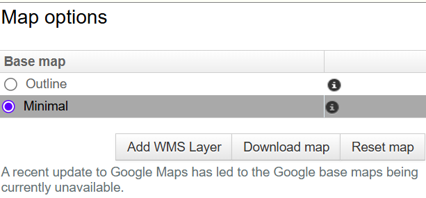
The options relating to the Map Options layer are all within the Legend Pane, as shown in the image above.
Changing the Base Map
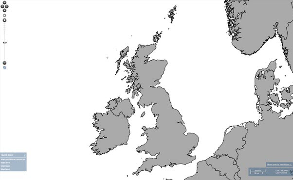
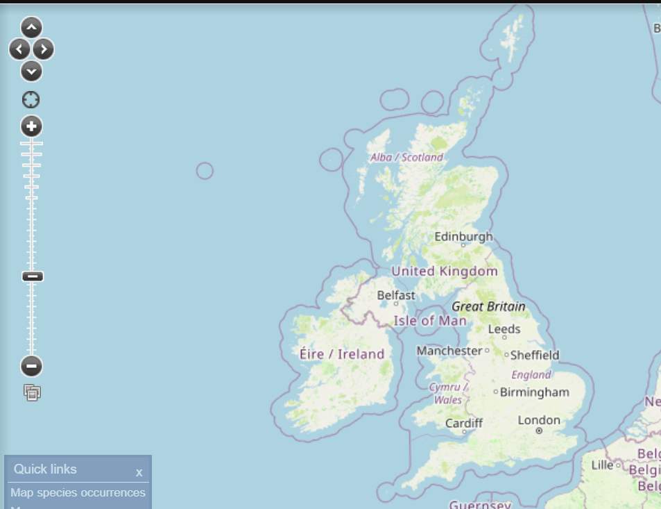
The base map can be changed by selecting the appropriate radio button. The outline map was designed for producing simple thumbnail images of the map and the minimal base map uses open streetmaps.
Outline Base Map
Minimal Base Map (default)
Selecting, deselecting and hiding layers
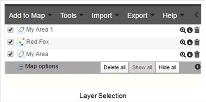
The above screenshot shows that next to the Map options special layer on the top-left of the Spatial Portal window you can either:
- Delete all layers currently listed. This will remove them from the layer list and the map and cannot be recovered. You will be given a warning before the layers are removed, rubbed out, deleted and eradicated.
- Show all. This selects all the layers in the layer list and displays them on the map.
- Hide all. This does the opposite of (2), de-selecting all the layers in the layers list and removing them from the map.
Was this article helpful?
That’s Great!
Thank you for your feedback
Sorry! We couldn't be helpful
Thank you for your feedback
Feedback sent
We appreciate your effort and will try to fix the article